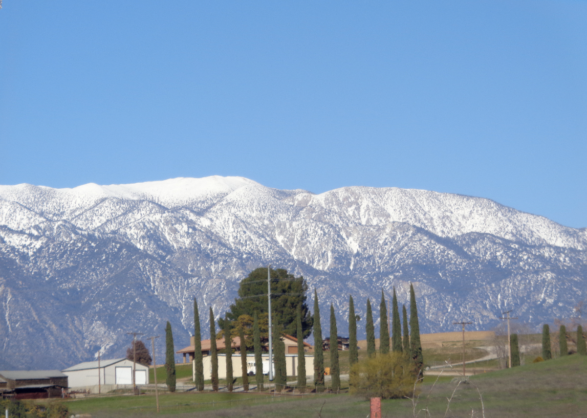
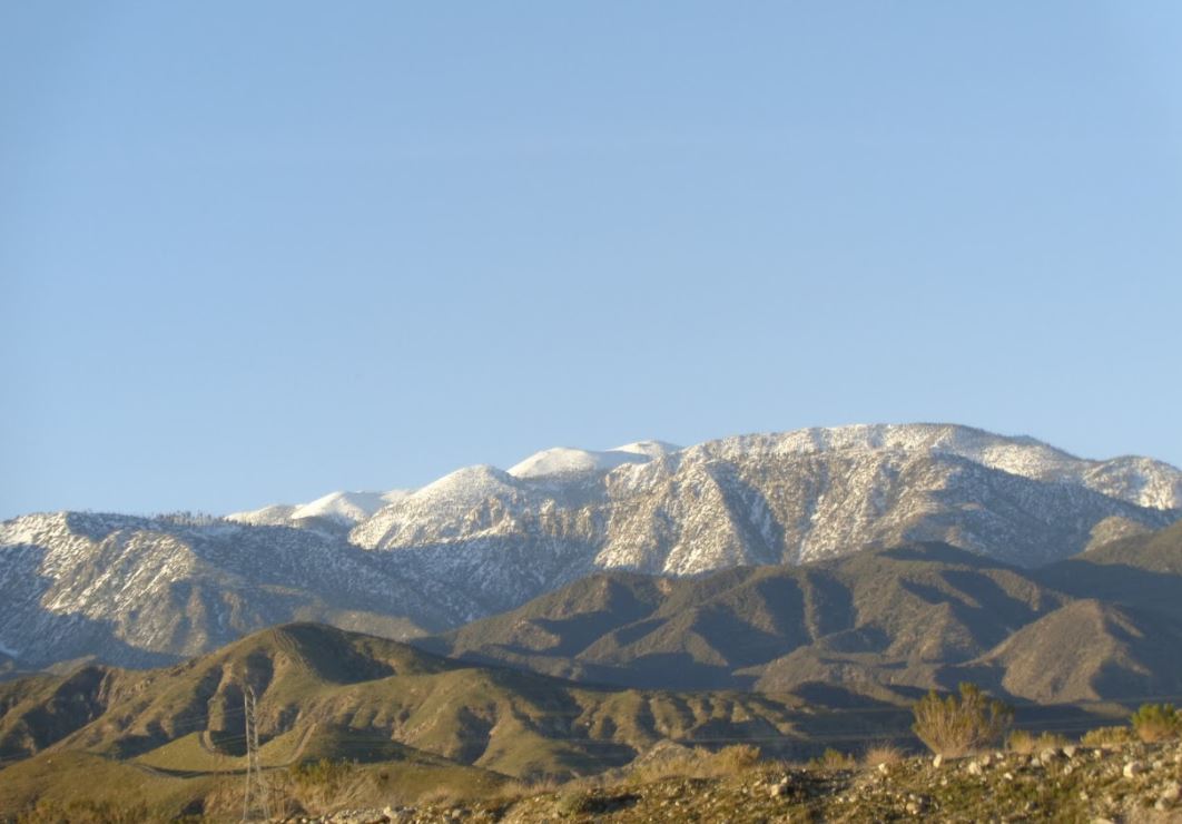
Southern California's highest mountain is Mount San Gorgonio at 11,499 ft. It is 27 miles east of San Bernardino. To get there, choose your most appropriate route to Highway 38 (the back way to Big Bear) in Redlands. The best views are on the north side which is reached by taking the Jenks Lake Road exit from Highway 38 to the trailhead for Dollar Lake–Dry Lake. You will pass through the Mill Creek Visitor Center near the entrance to the wilderness about 15 miles from Redlands.
Important: In order to hike in the San Gorgonio wilderness, you should be prepared to have a Day Hike "ONLY" Permit completed and printed out. You definitely will need to have purchased a parking permit (aka a "Recreation/Adventure Pass") from one of these locations. These can also be ordered online here, just be sure to do so well in advance, as the permits must be delivered by mail.
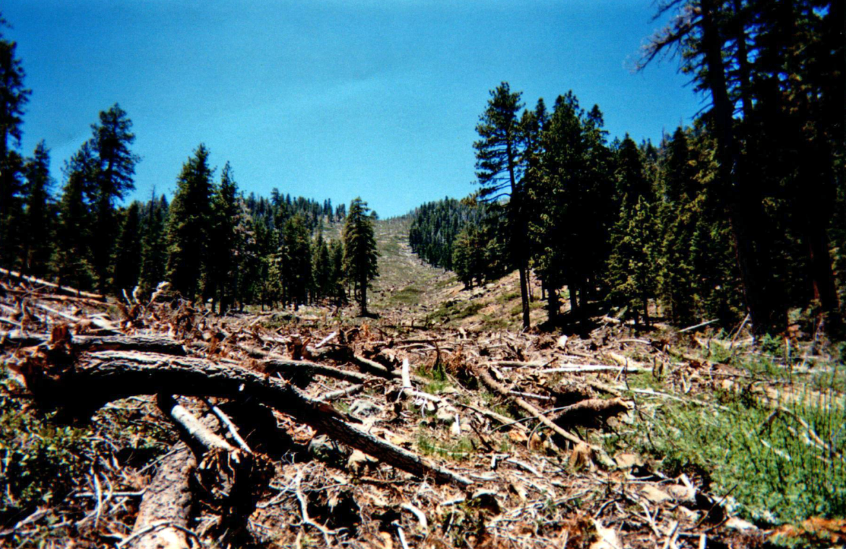
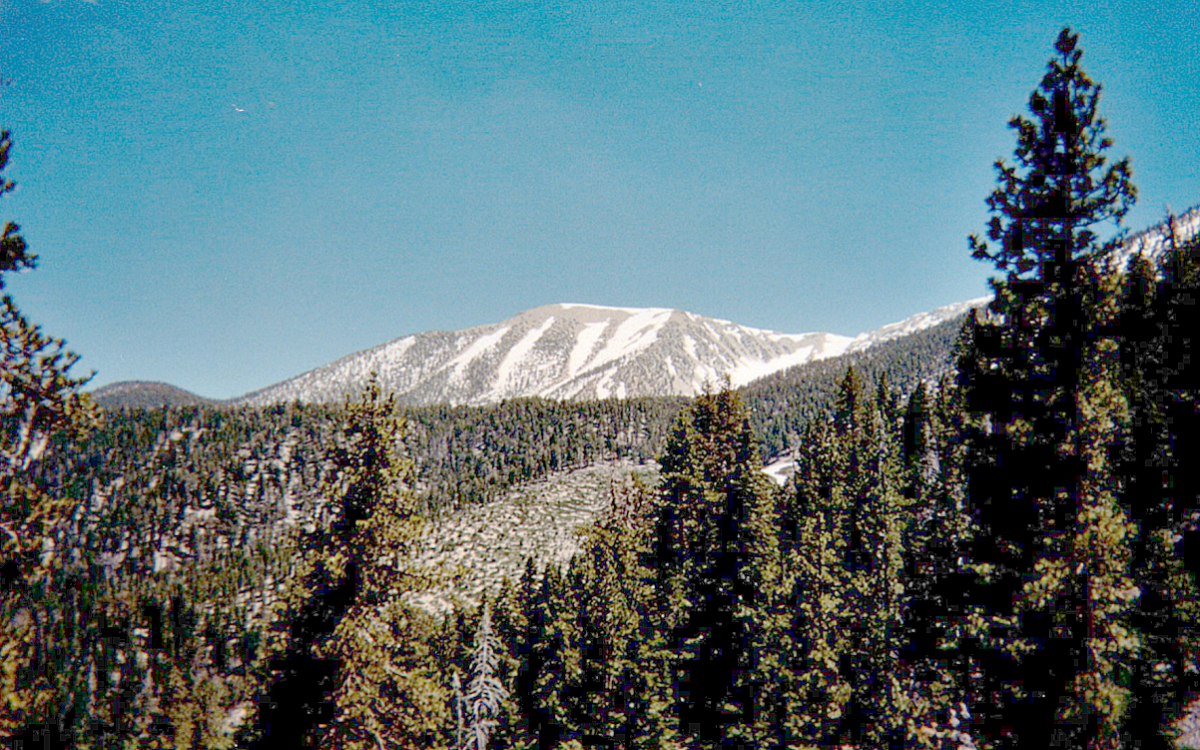
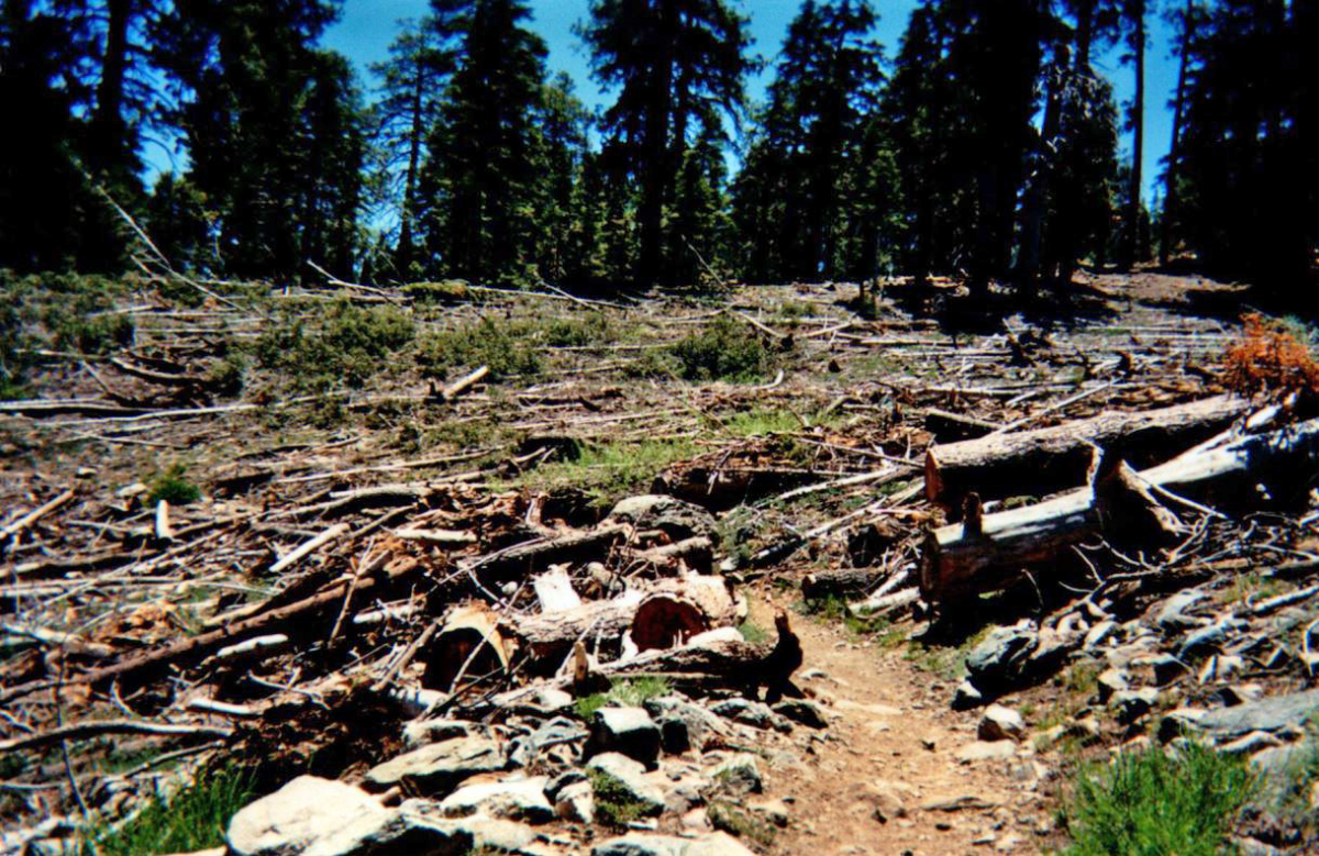
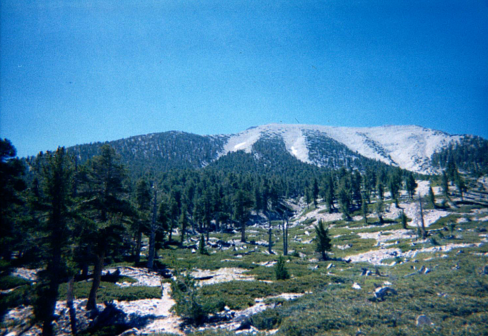
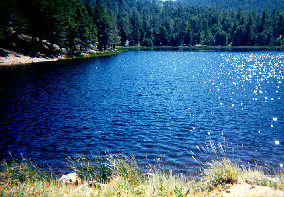
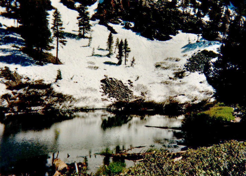
Getting to the top of the mountain requires over 12 miles of hiking and gaining about 5,000 feet in elevation. There are plenty of interesting alpine and forest views that can be seen instead by just going to about 8,500 feet on the north side (South Fork Trail Santa Ana River). The best time to visit this area is probably the month of May when there may still be lots of water in the lakes and snow near the top of the mountains. The last time Southern California had way above average rainfall (2005) there were two avalanches on the trail to Mt. San Gorgonio. Two photos of the effects of one of them are below. As of now, early June 2019, there is still a considerable amount of snow on the north side of the mountain. The lake that is called “Dry” is currently filled with water, as it was in my pictures from 1998 (another heavy snowfall year).